
Mount Vernon Neighbors by Block
Public records can describe the parcels around a Mount Vernon address, but each source has a different scope. Use parcel geometry to identify nearby lots, the assessment roll to compare tax attributes, and recorded land material when a boundary or ownership question needs more support. Association and city resource pages add community context. They are not membership lists. For an older block, a directory, newspaper, deed, census schedule, or map must be matched to the year being researched.
| Block source | What it shows about nearby parcels | Access route |
|---|---|---|
| Mount Vernon GIS parcel layer | Parcel shape, address, ZIP, class, school, tax-map key, and geometry | Free county query and identify service |
| Assessment roll | Current owner field, owner mailing address, location, class, and tax detail | Mount Vernon Assessment and annual roll PDF |
| Land records | Grantor, grantee, instrument, premises, and map references | Westchester Records Online |
| Community organizations | Published civic orientation and contact routes | Organization contact page or city directory |
| Historical sources | Dated printed households, block layout, and address context | Library, Archives, newspapers, and maps |
An owner field is not proof that the owner lives at the property. Likewise, a shared block, rear lot, or street number does not prove a family tie, social relationship, or association membership. Treat the source wording as the limit of the result.
Defining Mount Vernon Neighbors
The definition determines the method. An adjacent-parcel neighbor shares a boundary visible on the tax map. A same-block neighbor is tied to the street layout for a particular date. A street-segment neighbor is part of a selected portion of the roadway. An association neighbor is someone within an organization’s own service area, if that area is published. Choose one before searching, then describe it plainly in notes and requests.
- Adjacent parcel
- A tax parcel that touches the subject parcel on a map. A rear, corner, or irregular lot can have a different access pattern from the one suggested by a street view.
- Same block
- An address group bounded by intersecting streets or another defined block boundary. It is broader than a pair of adjoining lots.
- Street segment
- A specified portion of a street, often useful for a historical directory or map comparison.
- Association area
- A civic organization’s own description of the area it serves. Do not assume every nearby parcel belongs.
Note: Record the definition, research date, and source because parcel boundaries, local descriptions, and addresses can change.
Mapping Mount Vernon Neighbor Parcels
The Mount Vernon GIS parcel layer supports query, identify, find, export, attachments, and analytic operations. Start by locating the subject parcel, then inspect the polygons at its sides, front, and rear. Its available attributes include PROPADDRESS, PROPAPT, PROPCITY, PROPZIP, PROPERTYCLASS, LOC_ST_NBR, LOC_STREET, SCHOOL_NAME, CITYTOWN_NAME, CITYTOWN_SWIS, SWISSBL, and geometry. The county service notes a 2,000-record maximum in its metadata.
- Enter the complete address, street spelling, ZIP, and a date range when an older block is the question.
- Use the subject polygon and its
SWISSBLkey to confirm the tax-map parcel rather than relying on a street label alone. - Identify each touching polygon and record the parcel ID, displayed address, class, ZIP, and school field without describing a person as an occupant.
- Compare the selected parcels with the assessment roll. Move to a deed map, survey, or the Clerk only when the actual boundary or title question requires it.
The full named-street record chain belongs on the Mount Vernon by-street directory. Here, stop at the immediate block and label whether the relationship is adjacent, same block, or a street segment.
Mount Vernon Neighbor Parcel Fields
The assessment roll provides the next check after GIS. Its PDF headings include tax-map parcel ID, property location and class, current owner name, current owner address, school district, land, tax description, parcel size or grid coordinate, total, exemption codes, and special districts. The roll is a row-based municipal tax document, not a household record or a full parcel card with a building sketch. Search the PDF by street, parcel, location, or printed owner field, then watch for text that splits a name or address across lines.
The Assessment office lists City Hall at One Roosevelt Square North, weekday hours from 8:30 to 4:30, and assessment questions at 914-665-2325. The roll is updated on its own schedule, so a tax owner and a recent deed grantee can differ. For a split, merged, or disputed parcel, retain the tax-map identifier and consult the local assessor or the recorded material instead of deciding the question from an address alone.
Mount Vernon Neighbor Boundary Checks
The GIS boundary disclaimer matters. Parcel lines are approximate and are not surveys; the local assessor remains the authoritative map source. A corner parcel may have more than two street fronts. A rear parcel may appear to touch another on the map while having a different access arrangement. Older parcel mergers can also make an earlier address disappear. For a title question, use the tax-map key with the deed’s premises or legal description, then ask the County Clerk or a qualified survey professional for the right record.
Westchester Records Online is the current land-search route for deeds, mortgages, maps, judgments, and related filings. Search the owner as grantee, review the instrument date and references where available, then follow the prior grantor only if the question is historical ownership. The County Archives reading room and research-by-mail service are the fallback when the online index or image path is not sufficient.
Mount Vernon Neighbor Civic Contacts
Community pages are useful for knowing what a neighborhood calls itself and where to ask a civic question. They should not be used to infer that a particular person belongs to a group. The published pages below give contact or orientation routes only. Fleetwood and Oakwood Heights are documented local labels, but neither source supplies a complete legal boundary or a roster of people.
Fleetwood Neighborhood Association
Community-based organization in Fleetwood with an online contact form, mailing-list option, meetings, events, and membership route. Its public pages do not publish members.
Oakwood Heights Homeowners Association
Founded in 1963, with a public orientation page and related civic organizations identified there. The public information does not establish individual membership or a complete boundary.
City Resource Directory
City controls allow first-letter, category, and name browsing for public organizations and resources, not households.
| Organization route | Published context | Appropriate question |
|---|---|---|
| Fleetwood contact form | Name, email, mailing-list choice, and comments fields | A civic or historical neighborhood question |
| Oakwood Heights page | Founding and public organization context | How the group describes its community |
| Mount Vernon resource directory | Public resource and organization listings | Which listed community organization to contact |
Mount Vernon Neighbors in Fleetwood
The Fleetwood Neighborhood Association home page gives Mount Vernon neighborhood context and a route to its meetings and events.
That public description can orient a local search, but it does not establish that a nearby address is within the group or that any resident participates.
The Fleetwood membership page lists annual dues of $20 for an individual, $30 for a family, and $40 for a business, with online or check enrollment.
The fees describe an optional public route, not a member list or evidence about a household.
The Fleetwood contact page shows the organization’s direct message route for a Mount Vernon neighbors question.
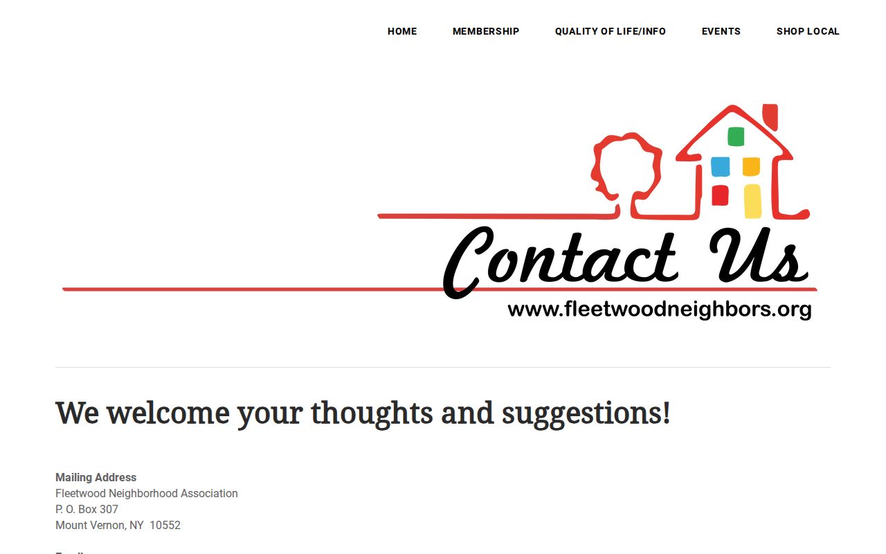
Use the form for an organization-level request and do not ask a civic group to disclose personal membership details.
Mount Vernon Neighbors in Oakwood Heights
Oakwood Heights Homeowners Association identifies its 1963 founding, a $25 annual household charge, and civic connections with Mount Vernon Neighbors United, Fleetwood Neighborhood Association, and Vernon Woods Cooperatives Association.
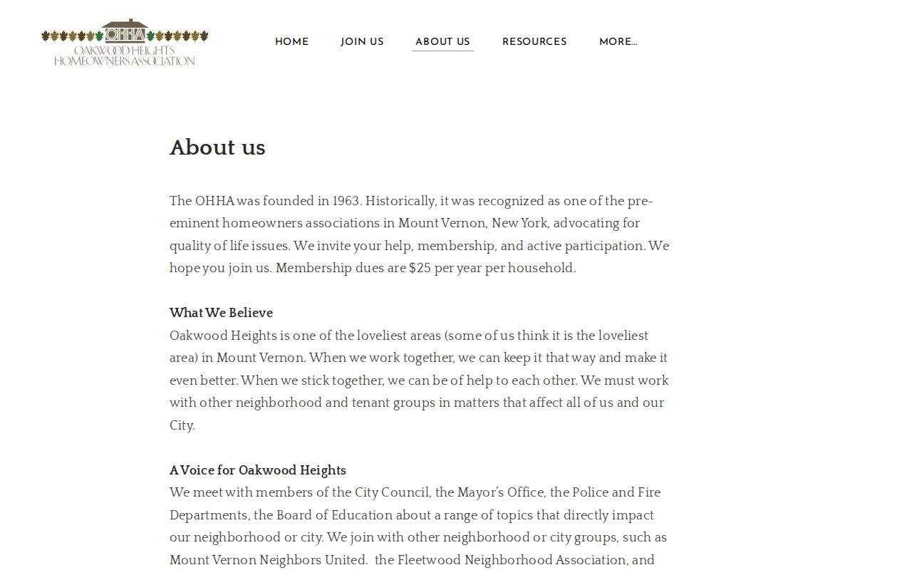
This is useful civic context for a Mount Vernon block. Its public page does not draw a complete boundary or expose household names, so direct contact is more reliable than inferring affiliation from a street address.
Mount Vernon Community Directory Context
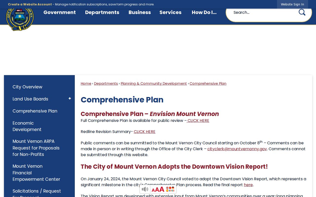
The city Comprehensive Plan describes neighborhood conversations and the city’s planning process. It gives a civic setting for block questions without identifying individual residents. The city resource directory separately offers first-letter, category, and name controls across 39 organization and resource listings. It is a public community layer, not a directory of households.
The Mount Vernon Comprehensive Plan page provides the source context for this neighborhood orientation.
Use city listings to find a public organization, then keep the question about the organization’s published work rather than its members.
Mount Vernon Neighbors in Older Blocks
For a historical block, work from a selected year. Search directories by street number and adjacent entries, then compare the result with newspaper notices, census schedules, deeds, and the relevant map. The 1918 Sanborn set can show the block’s physical arrangement, while parcel and deed records help test whether the address or lot changed. A city directory is a dated printed association, not a continuous record of residence.
Older Mount Vernon records can use Eastchester or another locality label. Preserve the wording used by the source rather than silently converting every historical address to a modern city label. The library, Westchester Historical Society, County Archives, local newspaper microfilm, and Sanborn maps are the documented research routes when the modern parcel tools no longer reach the needed year.
Note: A historical neighbor finding should name the year and record type, because a block changes over time.
Mount Vernon Neighbor Privacy
New York election records have extra controls. Election Law §5-604 provides a historical framework for election-district lists by street and number or alphabetically, but current voter information remains subject to election-purpose and privacy restrictions. Election Law §3-220 protects driver-license, non-driver-ID, and Social Security information, and supervised inspection rules apply. A block question is not authority to publish current voter details or build a mass list of nearby people.
When a defined city-held record is unavailable through its normal office, use the Mount Vernon FOIL form for an existing record. Identify the address or parcel, record type, date range, and preferred inspection, copy, or electronic format. FOIL does not create a record, settle a boundary, or override a confidentiality rule.
| Official record category | Commercial neighbor-tool category | Practical difference |
|---|---|---|
| Parcel, court, election, and recorded-land sources are kept by identified public custodians. | Commercial neighbor tools compile claims from mixed sources and may charge for access. | Official fields have a stated custodian and record purpose. Neither category proves every occupant. |
| Requests can be narrowed by address, parcel, date, or record type. | Broad people lists can obscure dates, sources, and access limits. | Use the narrowest official record that answers the civic or historical question. |
Lawful use. Mount Vernon neighbors research is for personal, historical, property, and civic questions. Never use public details to stalk, harass, intimidate, expose, or harm anyone.